This hike is a delightful get-away from the city but just about 30 miles from C-470. Along the trail you’ll find wildflowers in the spring and summer, and views at any time. Because this is a lower-elevation hike, it can get really warm, particularly in the afternoon, so consider this hike in the spring or in the fall (we did it in late October and the temperatures were perfect!)
Trail Description: After arriving at the trailhead parking area, walk across the road and begin hiking uphill. The trail is a steady uphill hike, but the climb gets gentler the further you go. At the 2.5-mile mark, you will get to the end of the last switchback and notice a side path to the right where you will find a fantastic view.
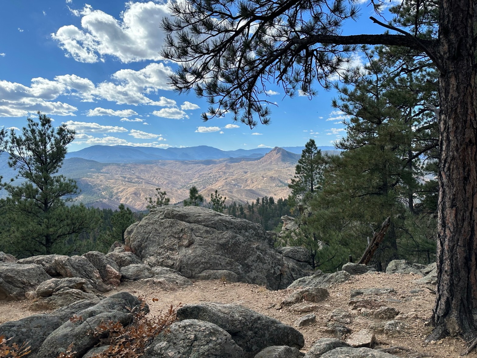
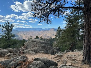
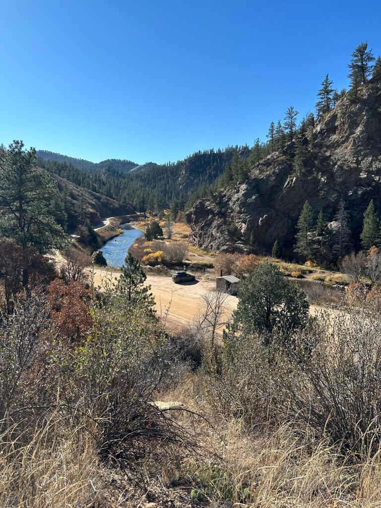
The next 1.5 miles provide views between the trees and an easy climb. At the highpoint you’ll find more panoramic views with large rocks in the foreground. If you have the energy, continue hiking another 0.1 miles downhill to a large rock outcropping on the left. We climbed to the top of the rocks and found a view of the Strontia Springs Reservoir and the south metro Denver suburbs to the northwest. We turned around at this point and suggest you do as well. Why? Because the trail drops significantly in elevation from this point, which means adding more uphill climbing on the way back to your vehicle.

Features: Views and wildflowers.
Terrain: Single-track trail with some rocky areas and some slippery sections due to loose gravel.
Getting There: From the Denver area, from Exit 5A on C-470, take US-285 south toward Fairplay for 15 miles. Take the Kennedy Gulch Road exit toward Foxton Road and turn left onto Kennedy Gulch Road. After 0.2 miles, turn left onto S. Foxton Road and continue for 8.1 miles. Take a sharp left onto W. Platte River Rd. and drive for 6.2 miles to the Colorado Trail Trailhead: South Platte River.
From south of Denver (ie. anywhere south of the town of Lone Tree), take US-85 N/Santa Fe Drive to Sedalia. At Sedalia, turn left onto CO-67 S and drive 13 miles. At the Sprucewood Inn Restaurant, take a slight right onto W. Pine Creek Rd. and drive 3.1 miles. Turn right onto N. Platte River Road and drive another 3.8 miles. Trailhead parking will be on your left.
Parking: There is parking for about 25 cars at the trailhead. There is also a pit toilet.
Length of Hike: To highpoint is 7.6 miles round trip.
Elevation: Trailhead: 6,112’. Highpoint: 7,497’.
