While this trailhead is a great find, offering plenty of parking and access to great views, both hikes that depart from here start by heading downhill (thereby breaking one of our rules – never start out by hiking downhill!) Just make sure to conserve enough energy for the hike back uphill, back to your car!
Trail Description: This hike leaves the trailhead parking lot toward the west, back toward the road you came in on. If you are confused about where to access the CT, go to the forest service sign at the south end of the parking lot and head to your right. The trail quickly drops downhill toward the creek at the bottom of Johnson Gulch. As you drop down into the pretty valley, it’s impossible to ignore the fact that this hike will end with the half-mile climb back up to the parking. From the creek at the bottom of the gulch, the trail starts a slow steady climb for another mile and a half across a grassy hillside and through patches of trees. The hillside and many other parts of this trail are exposed to direct sunlight and can be hot on a sunny day.
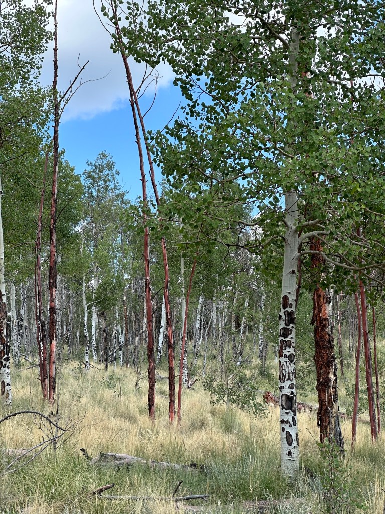
The abundance of aspen on this trail suggests that it is an excellent choice during the autumn when the leaves are changing (usually between about September 22 and October 3). At about the 1.8-mile mark of the hike, notice the tree trunks to your right that are reddish. This indicates an area where there was a wildfire and red tinted fire retardants were dumped in this area to douse the fire. By the looks of the aspen that have grown since then, that fire was at least 20 years ago.
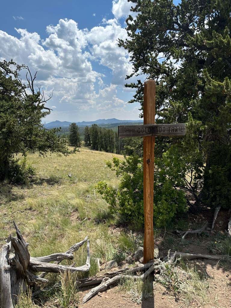
At the 2-mile mark you will come across an old wooden sign that simply says “Colorado Trail”. Here is your first view of South Park, with mountain peaks in the distance. Below you might see a glimpse of Lost Park Road, which you drove to get to the trailhead but otherwise there is very little evidence of humans in this grand view. Continue hiking another half mile uphill, across the crest of a high point, and through some more forest. Pause to enjoy the grand views as you cover this half mile of trail. We hiked downhill to an old road spur, but it’s really not logical to do this unless it is your intention to make this a longer hike and keep going towards Kenosha Pass, perhaps to the next high point another mile ahead.
Our suggestion is to hike to the viewpoints at the 2-mile mark and just past that since there is no compelling reason to keep hiking unless you are wanting to go another 1.5 miles each way to the next high point.
On the way back to the trailhead, you will eventually get to Johnson Gulch and have an almost a half-mile hike uphill from the creek to where you parked. While it’s a not a big deal, it is an uphill at the end of your hike and can be tiring.
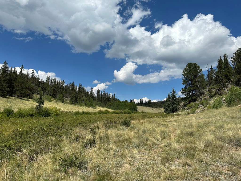
Features: This hike is worth doing for the views of South Park at the 2-mile mark and through to the 2.5-mile mark. The sprinklings of wildflowers and the pleasant state of the sandy trail itself contribute to the good experience.
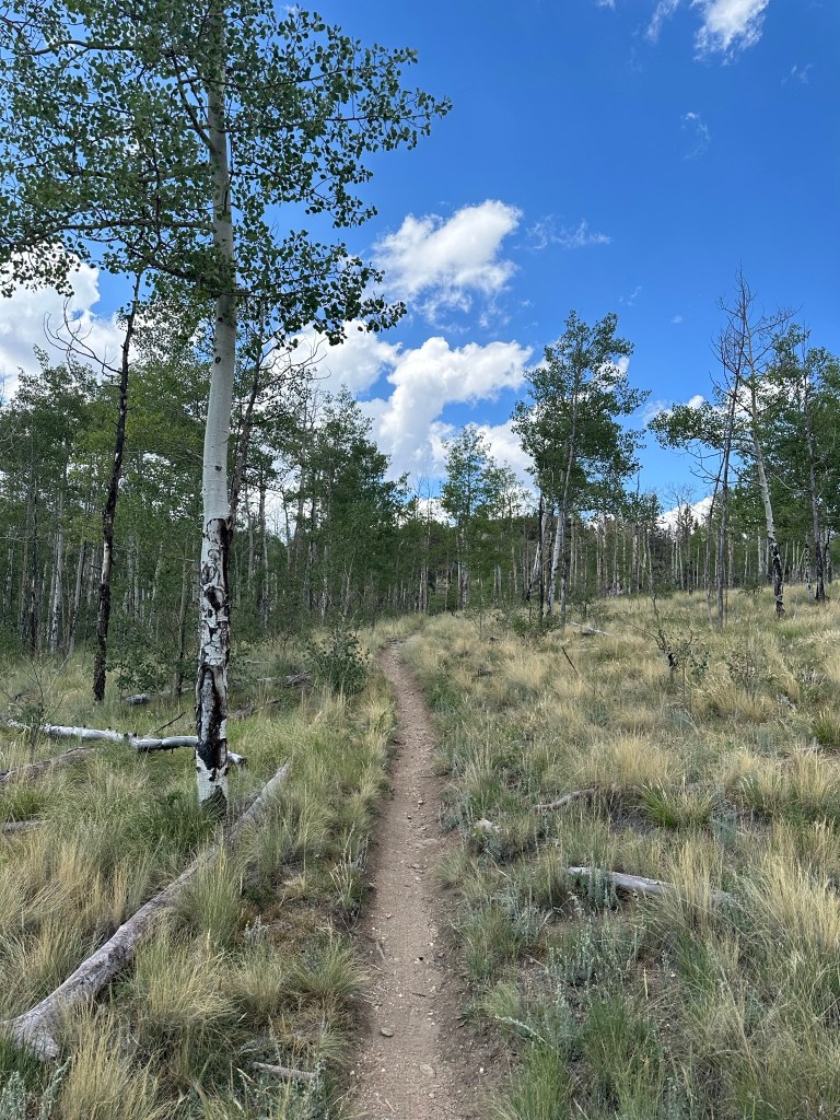
Terrain: Single-track trail with some small bits that have the typical V in the trail from mountain bikes.
Difficulty: Easy to Moderate.
Getting There: From US-285 between Fairplay and Kenosha Pass,3.1 miles west of Kenosha Pass, turn south/east onto Lost Park Road (it is well marked with signage on 285). Drive 7.2 miles on this well-maintained road. Depending on when the road was last graded, this road may be washboarded for the first few miles, but actually gets better the further you go! Take a left onto Rock Creek Road and follow it 1.2 miles to the well-marked trailhead parking lot.
Parking: There is a very nice, developed parking lot at the trailhead, which has parking for a dozen or so cars. There are also camping/parking areas very nearby in flat spots just off the access road. Many of those spots offer great views and even some cellular service too.
Length of Hike: 5.8 miles round trip to the spur road. 4 to 5 miles round trip to the high points with the views.
Elevation: Rock Creek Trailhead: 9,729’. Views at High Point: about 10,100.’
